Sep. 2017
Pages: 28
Size: A4 (210x297mm)
Binding: Stapler Bound
Print: Laser Print
Paper: Ventnouveau
Graphic inc.
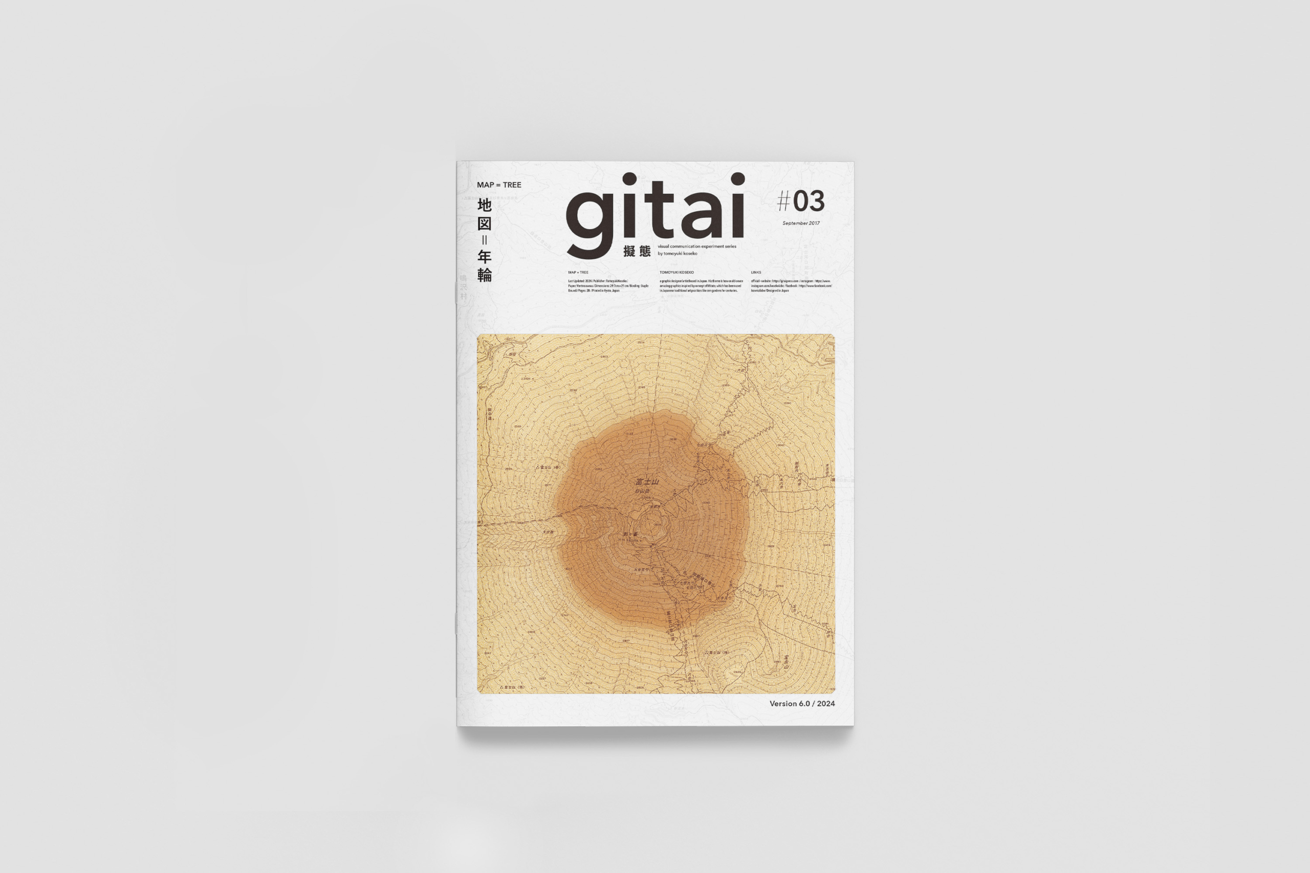
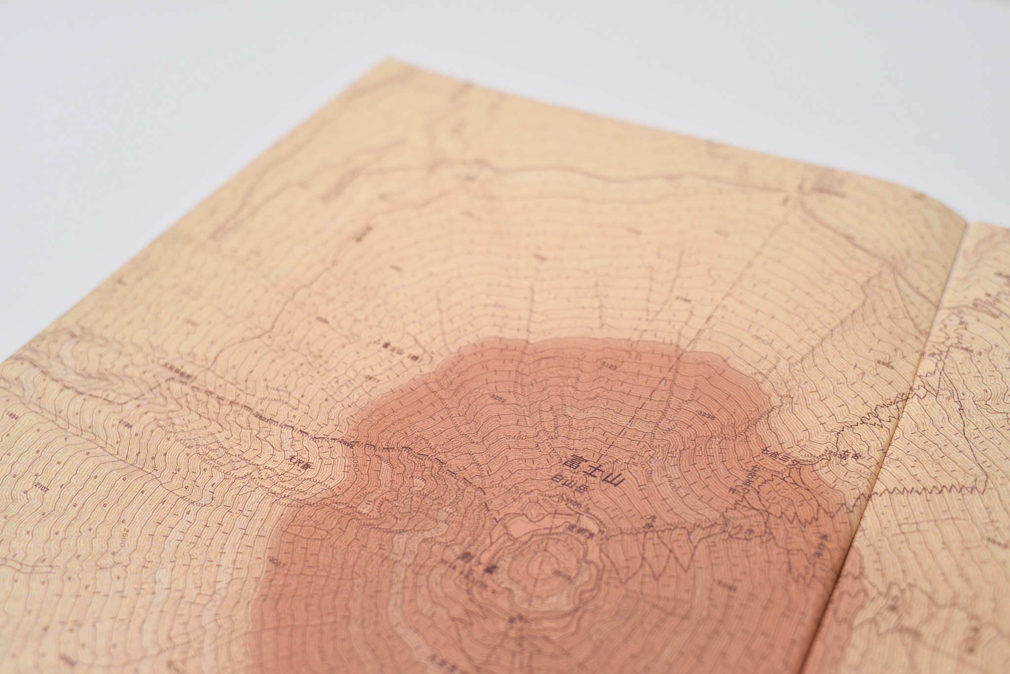
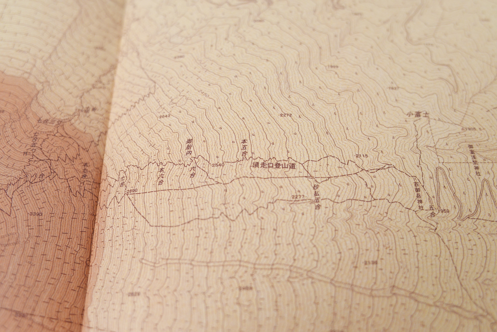
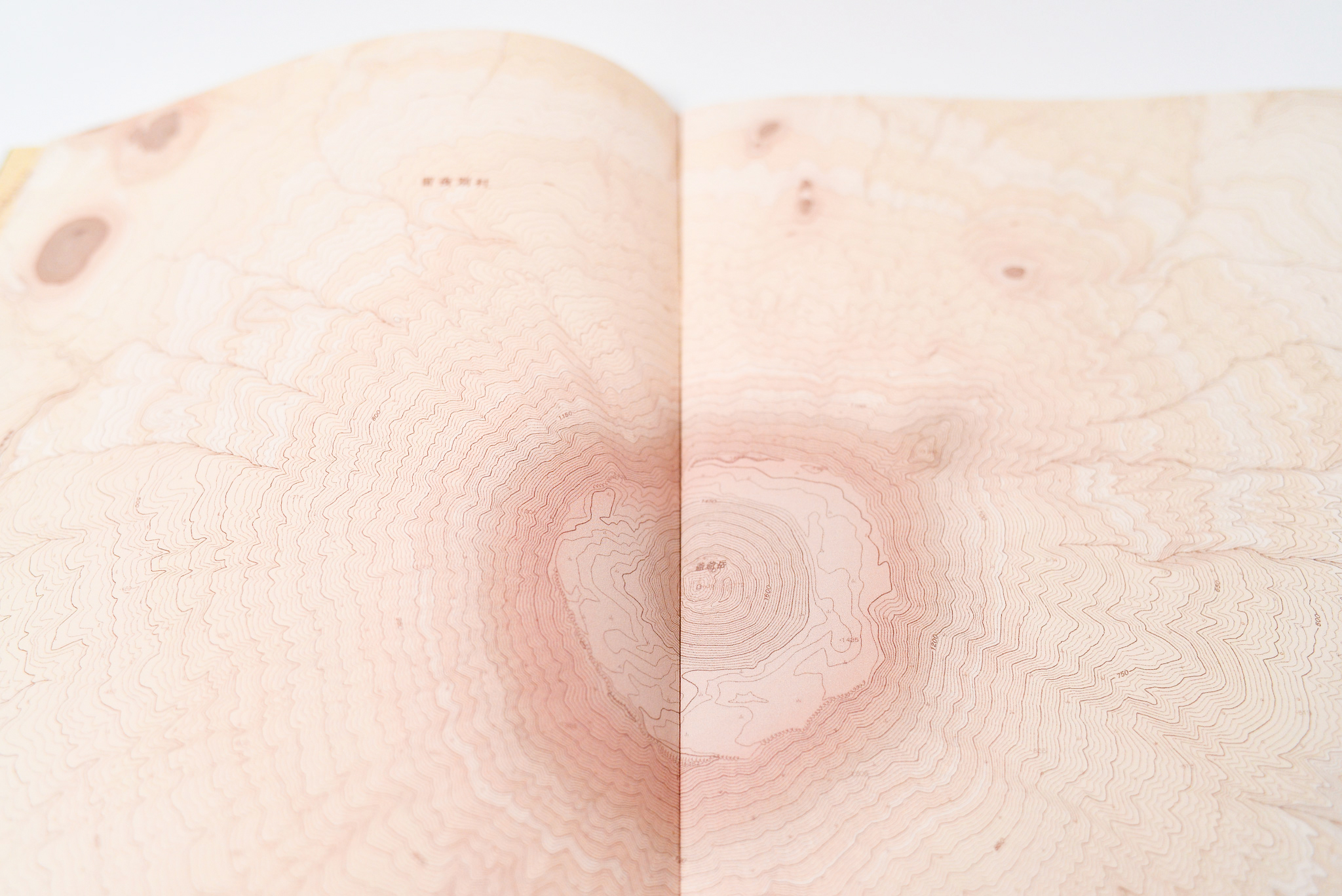
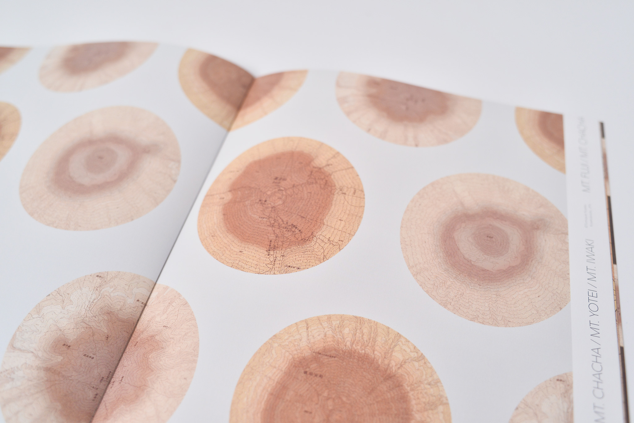
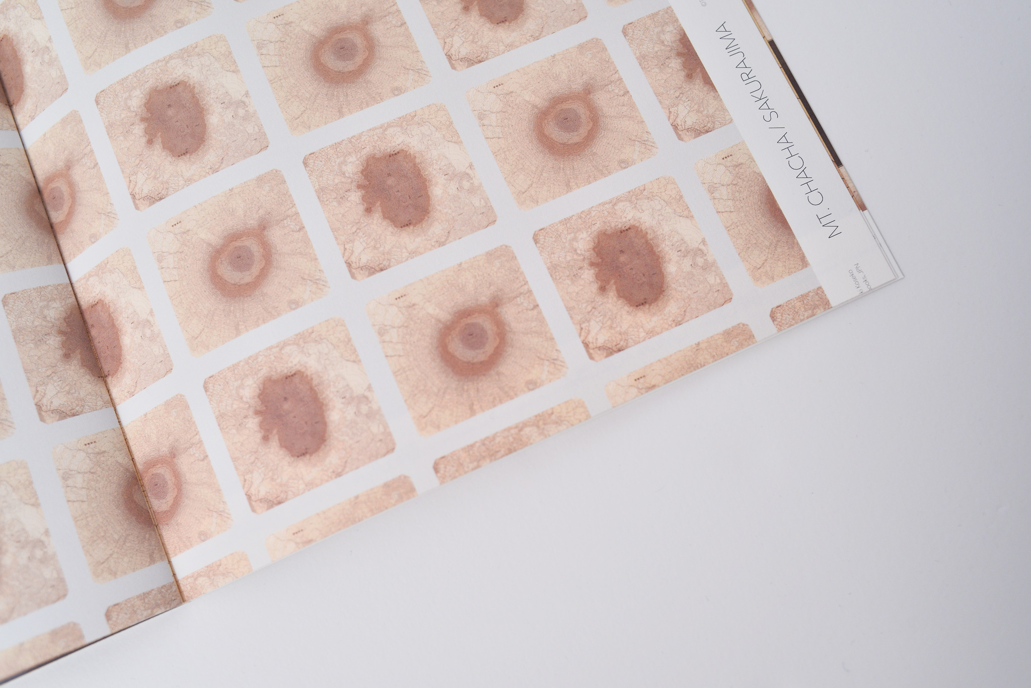
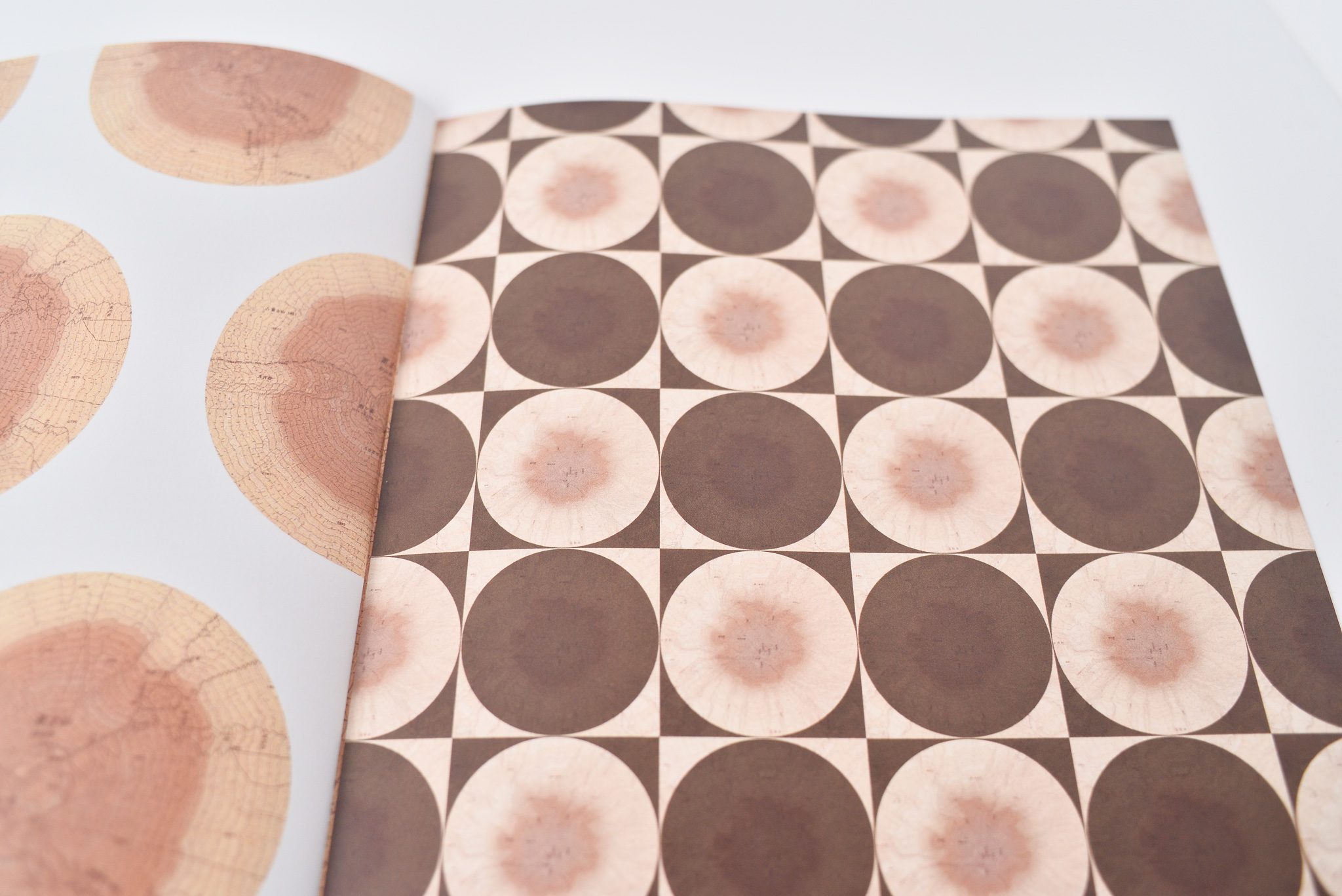
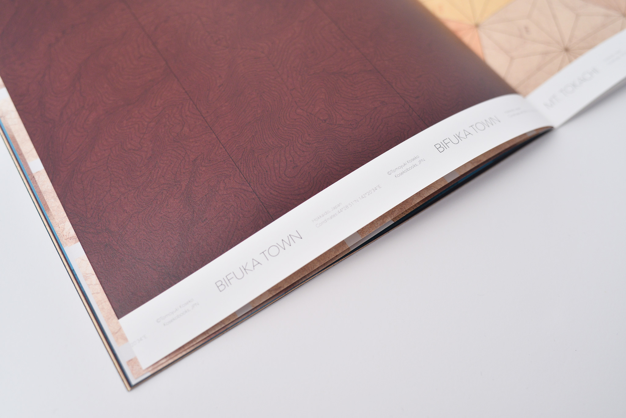
A series of graphic design practices that overlays maps and tree rings. Recording the process of simulating topographic maps, such as Mt. Fuji, the well-known symbol of Japan, with colored tree ring patterns that everyone is familiar with. The remarkable unexpected similarities between tree rings and maps will be highlighted.
地形図の等高線を年輪に見立てて、木目の表情を再現しました。緻密に描かれた木々の細部を見ると、山々の地形図であることがわかります。この地形図から浮かび上がる年輪たちの精密な表情こそ、本作の特徴です。眺めていると、普段目にする年輪や木目のみならず、様々な物が何処かの地形図に見えてくるかもしれません。すると、その山々を登る登山客は、微生物のような存在かもしれません。年輪の中央を目掛けて、登っていく微生物。なんともユーモラスな感覚を覚えます。